Tenehaun is part of Moorhouse Range, which is to the east of the Rangitata River. It includes Mt Tripp (1368m), the highest peak in Moorhouse Range, as well as walking and mountain-bike public access easements above Rangitata Gorge.
Rangitata Gorge is accessed from marker 1 on the above map, with Mt Tripp and Moorhouse Range accessed via Marker 2.
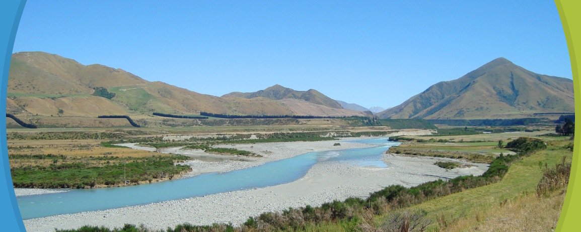
Rangitata Gorge
| Classification: | Tramping Track |
| About the walk: |
At the start of the Rangitata Diversion Race (RDR) follow the marked public access easement up the face of the terrace. Once this section has been climbed the route is relatively easy-going and gives good views down into the Rangitata Gorge. Mountain biking is possible in this area. |
Mt Tripp and Moorhouse Range
| Classification: |
Tramping Track |
| About the walk: |
Follow the marked public access easement from the end of Chapmans Road to the Hinds River south branch. Public conservation land starts here and gives access to Moorhouse Range and Mt Tripp. Moorhouse Range can be reached by walking to the end of the public access easement and then following the ridge line, which leads to point 1095. Routes are not marked and this area is suitable from fit and experienced trampers. Mountain biking is possible along the easement but once public conservation land is reached there are no suitable tracks. |
Collect a DOC Around and about Mid-Canterbury brochure from the Methven i-SITE Visitor Centre.
View My Planner
New Zealand
Phone: +64 3 302 81725 | Fax: +64 3 302 8954
![]()
Free advice from travellers for a great Methven vacation.