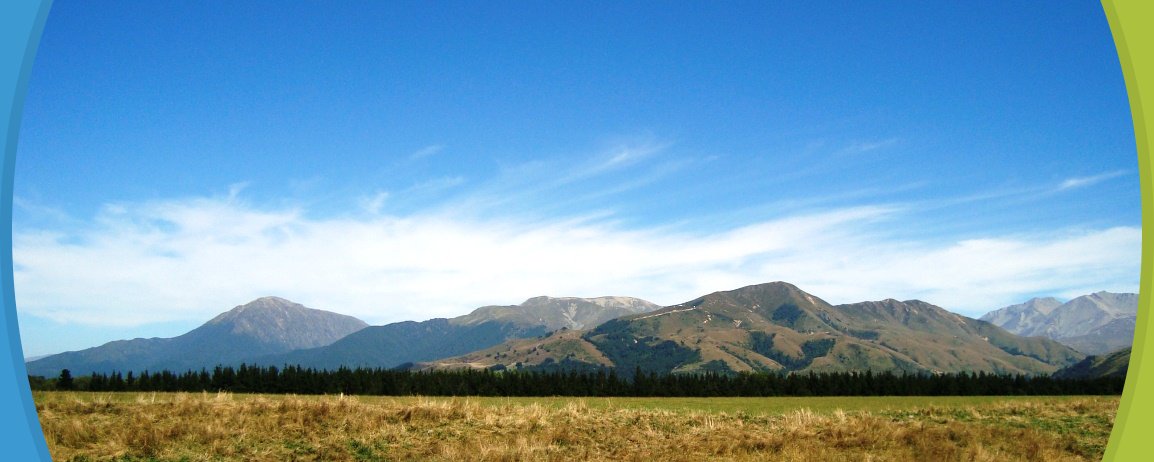

Trampers on the new Mt Alford Track will pass through the Alford Scenic Reserve, climb beside a stream gully which emerges onto tussock grassland before climbing through subalpine vegetation to the summit of Mt Alford (1,171m). From the summit, trampers are rewarded with wide views across the Canterbury Plains and the inland mountains.
|
Distance:
|
4.6 km, 3 hours one way |
|
Classification:
|
Tramping Track |
| About the walk: |
Access to Mt Alford Conservation Area is signposted from the car park at the end of Alford Settlement Road. The marked track passes through Alford Scenic Reserve before climbing beside a stream gully clothed in beech/tawhairauriki and then emerges onto tussock/wi grassland. The route through this open section is on private land so please follow the track markers. The access then re-enters public conservation land and climbs through subalpine vegetation to the summit of Mt Alford (1,171m). From the summit there are wide views across the Canterbury Plains and the inland mountains. Easements will be closed from 20 September to 20 October, inclusive, for calving and lambing. |
Collect a DOC Around and about Mid-Canterbury brochure from the Methven i-SITE Visitor Centre.
View My Planner