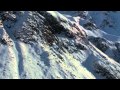
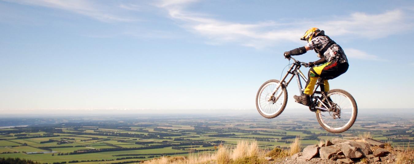
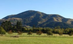
AMAZING MOUNTAINS
Mt Hutt Ski Area & world class heliskiing terrain on our doorstep. Six Canterbury ski fields all within close distance.
Tell me more
AMAZING MOUNTAINS
Mt Hutt Ski Area & world class heliskiing terrain on our doorstep. Six Canterbury ski fields all within close distance.
Tell me more
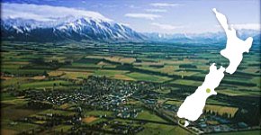
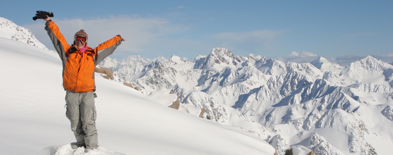
Welcome to the official visitor information website for Methven, one of New Zealand’s premier skiing & outdoor recreation regions.
Learn more

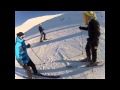
Laughter is FREE and so are Kids 10 years
and under during the 2015 ski season.
SKI - STAY - TRAVEL - EAT - PLAY - HIRE

Situated on Christchurch's Memorial Avenue, the Copthorne Hotel Commodore is just minutes away by...
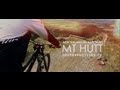
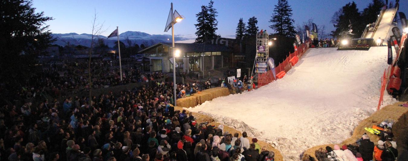
 Discover Mt Hutt - Summer Open Day
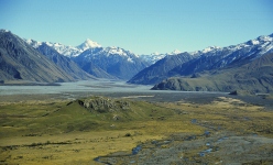
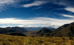
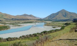
Hakatere
Hakatere Conservation Park covers nearly 60,000 hectares of rugged mountain country, tussocklands, beech forest, rivers and lakes. A number of huts are located in the park, most of which are accessed via unmarked routes following riverbeds.
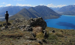
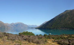
Lake Coleridge
There are a range of easy walks around the Lake Coleridge Village (including an historic walk with self guided walking notes and map) to longer day and multi-day hikes on public tracks in the Lake Coleridge basin.
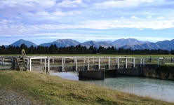
Methven Walkway
An easy walkway mainly following grass verges beside the Rangitata Diversion Race (a hydro-electric irrigation channel) and private farmland. Starts/finishes at Methven i-SITE. Intersected by various country roads allowing several walking options.
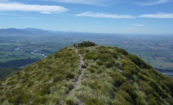
Mt Alford
Trampers pass through the Alford Scenic Reserve, climb beside a stream gully which emerges onto tussock grassland before climbing through subalpine vegetation to the summit providing views across the Canterbury Plains and the inland mountains.
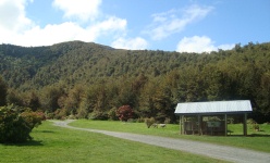
Mt Hutt Forest
Includes the Pudding Hill Stream Route, Scotts Saddle Track and the Awa Awa Rata Reserve which is a popular picnic area (with flowering rhododendrons during spring) and the starting point for several short walks and tramping tracks.
Mt Somers Tracks
A 1-2 day tramp links the popular Pinnancles and Woolshed Creek huts and provides a circuit around Mt Somers. Mt Somers features rugged bush, open sub-alpine tussock lands, impressive volcanic formations, historic coal mines and shady forest trees.
Peel Forest
The reserve covers 783 hectares around Little Mt. Peel. A wide variety of short and long tracks extend into the park. Your choices range from a gentle stroll around Dennistoun Bush or a more adventurous tramp up Little Mt Peel.
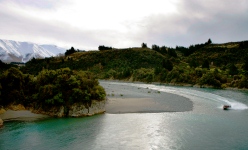
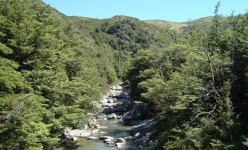
Rakaia Gorge
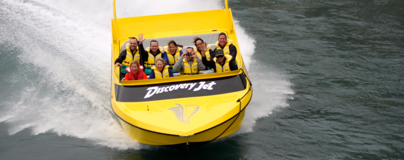
5km one way walkway on the north side of the Rakaia River. Several unique features of geological and historic interest, as well as spectacular views of the river. Popular option is to jet boat up the river and walk back to starting point.
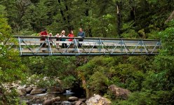
Sharplin Falls
A picnic area within the Mount Somers Conservation Area (acessed via Staveley), and the start or finish point for the Mt Somers Tracks. From the carpark a track leads to a bridge across Bowyers Stream and follows it upstream through beech forest to twin waterfalls.
Te Araroa
The Te Araroa Walkway is a route that runs the length of New Zealand, connecting Cape Reinga and Bluff through public walkways and tracks. Officially opened in December 2011, the route passes through the spectacular high country in our region.
Tenehaun
Tenehaun Conservation Area provides two new exciting opportunities for more ambitious walkers and trampers. The Mt Tripp and Moorhouse Range starts at near the Hinds River south branch while the Rangitata Gorge walk starts at the RDR intake.
Woolshed Creek
A large grassy, sheltered picnic area within the Mount Somers Conservation Area. As well as being the start or finish point for the Mt Somers Tracks, several short walks start from here. Reserve is accessed via Mt Somers township.
Subscribe to us
Mt Hutt Ski Area

View My Planner
New Zealand
Phone: +64 3 302 81725 | Fax: +64 3 302 8954
![]()
Free advice from travellers for a great Methven vacation.